On 11AUG2023, the U.S. Coast Guard District-14 (Hawaii-Pacific) released this silent video of the fire as it happened in the city of Lahaina, on Maui Island, Hawaii:
Also on 11AUG2023, the U.S. Army’s 94th Army & Air Missile Defense Command released this video (by Sergeant ZaBarr Jones) of the collection and staging of donations (food, water, clothes, baby formula, bedding and toiletries) from the residents of Honolulu, Hawaii:
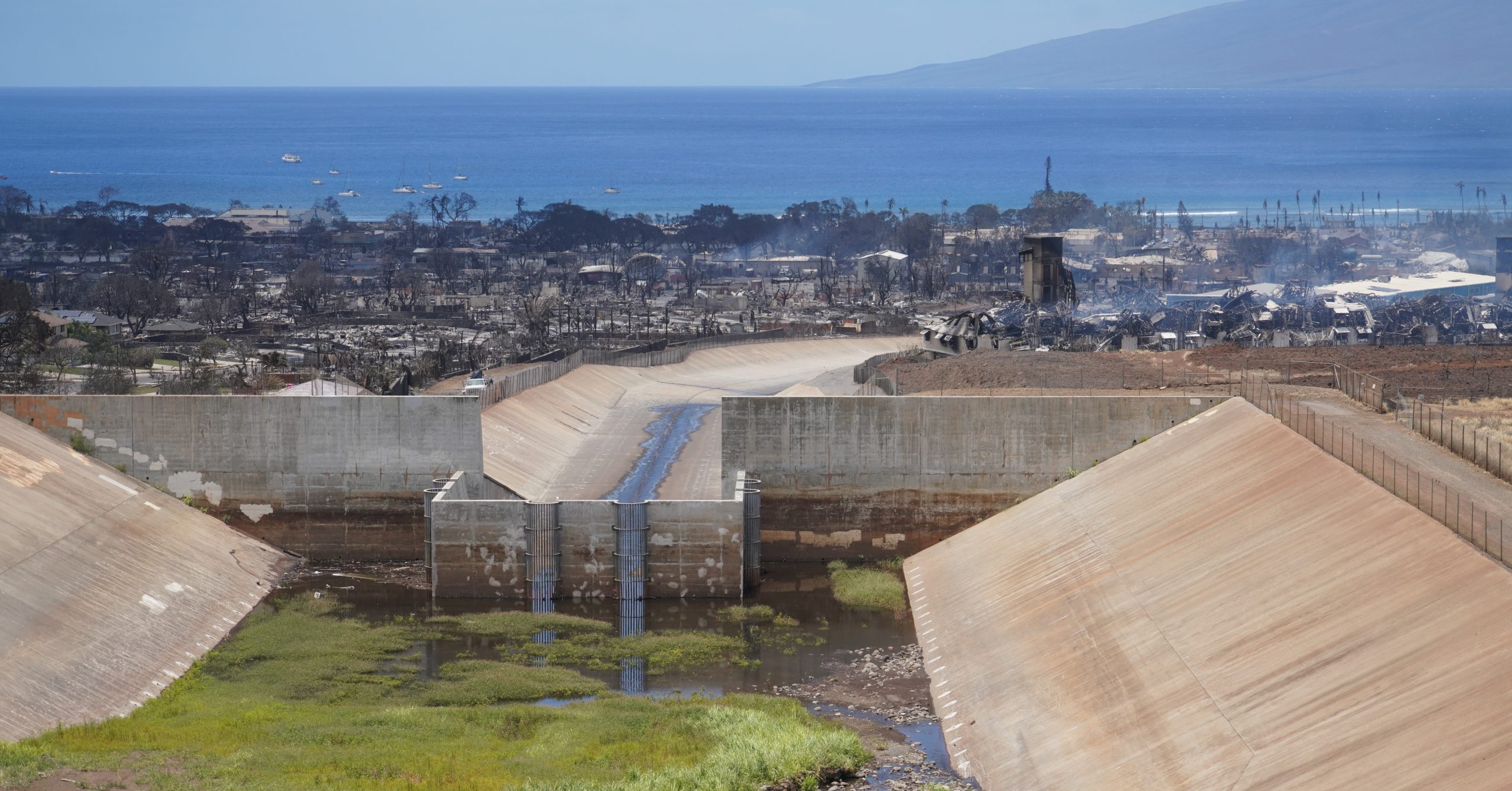
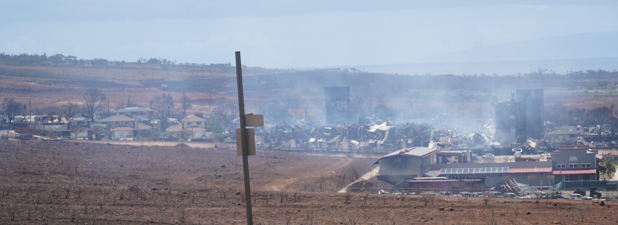
In the background is what’s left of Lahaina. In the foreground is a nearly empty fresh water reservoir, the islands of Hawaii are dealing with a drought. Hawaii National Guard photo by Master Sergeant Andrew Jackson, 09AUG2023.
Hawaii National Guard photo by Staff Sergeant John Linzmeier, 10AUG2023.
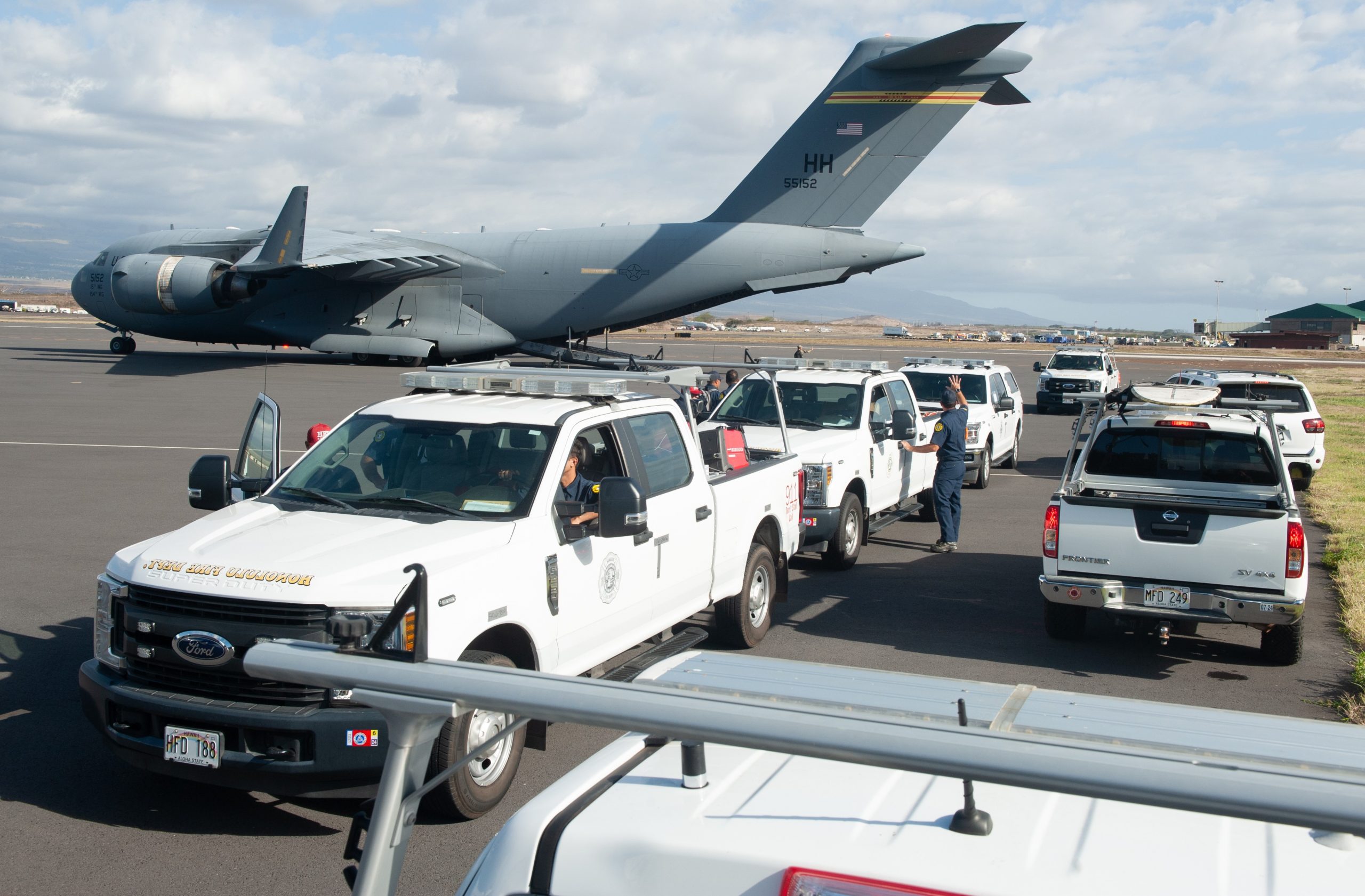
On 10AUG2023, Hawaii Air National Guard’s 154th Wing helped deliver personnel and equipment of the Honolulu Fire Department to the island of Maui, using the Boeing C-17 Globemaster-3 cargo plane.
Hawaii National Guard photo by Staff Sergeant John Linzmeier, 10AUG2023.
C-17 video by Staff Sergeant John Linzmeier:
Hawaii National Guard photo by Master Sergeant Andrew Jackson, 10AUG2023.
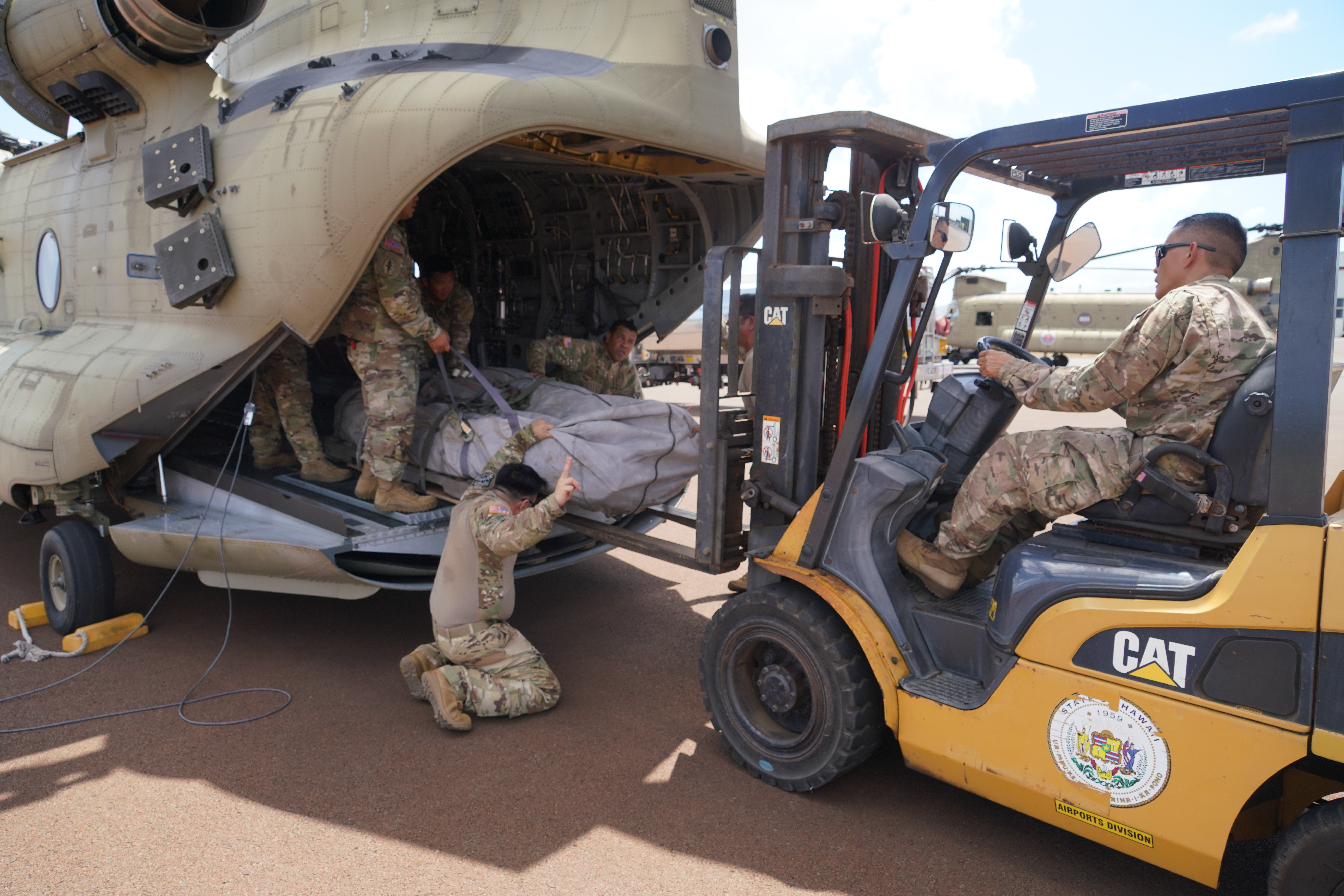
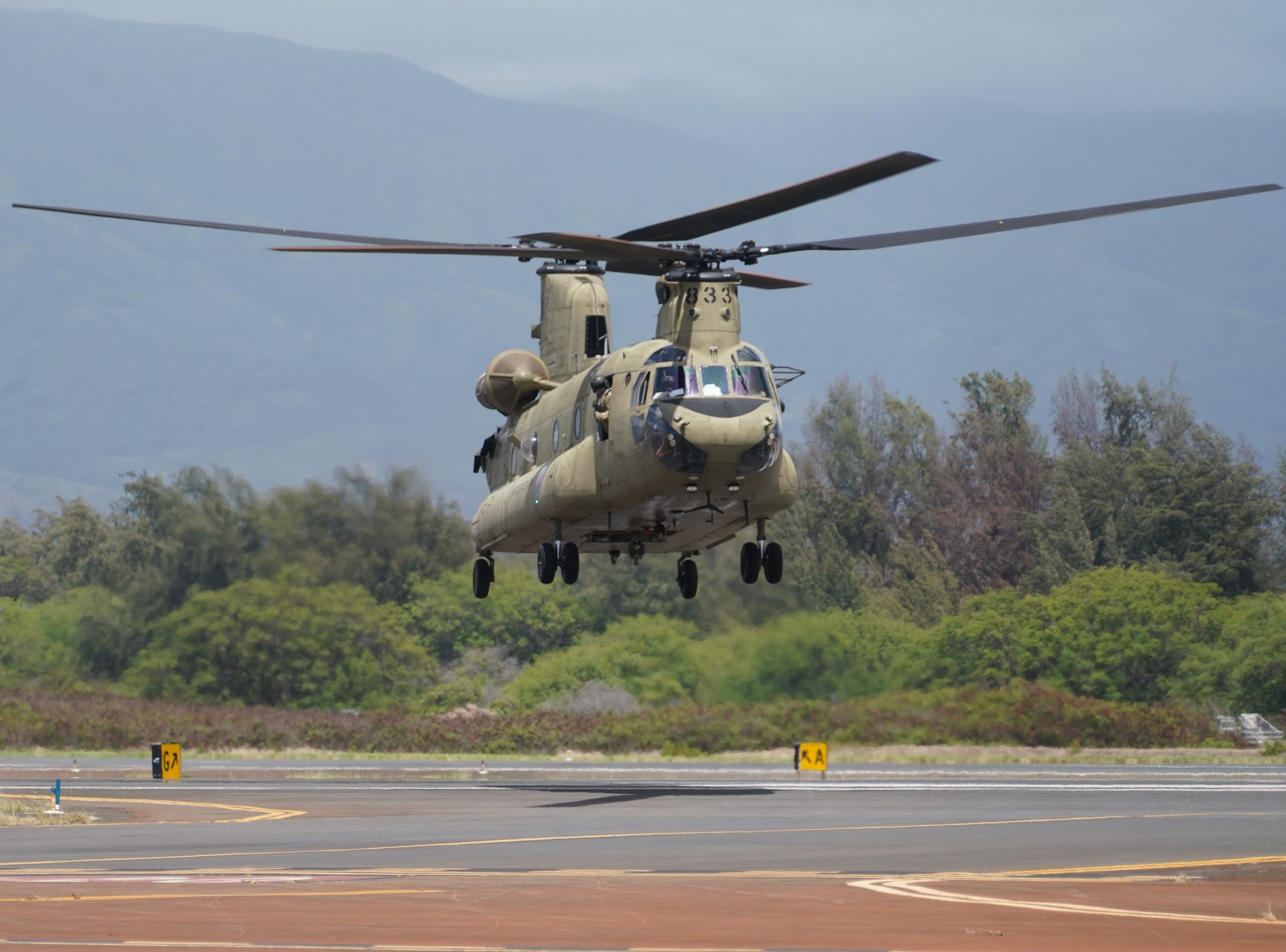
On 09AUG2023, the Hawaii Army National Guard deployed two Cold War era Boeing CH-47 Chinook rotary wings to fight the fires. 58 total bucket drops in five hours, totaling more than 100-thousand gallons, dropped on the fires!
Hawaii National Guard photo by Master Sergeant Andrew Jackson, 10AUG2023.
CH-47 video report by Master Sergeant Andrew Jackson and Master Sergeant Amber Monio:
On 09AUG2023, about 50 Hawaii Air & Army National Guard CERF-P (CBRNE Enhanced Response Force Packages) personnel were mobilized, and on 10AUG2023 joined with other emergency responders to conduct an initial ground recon/damage assessment of Lahaina on Maui Island, Hawaii. Video by Master Sergeant Andrew Jackson:
Hawaii’s National Guard is also assisting the local police. Hawaii National Guard photo by Master Sergeant Andrew Jackson, 09AUG2023.
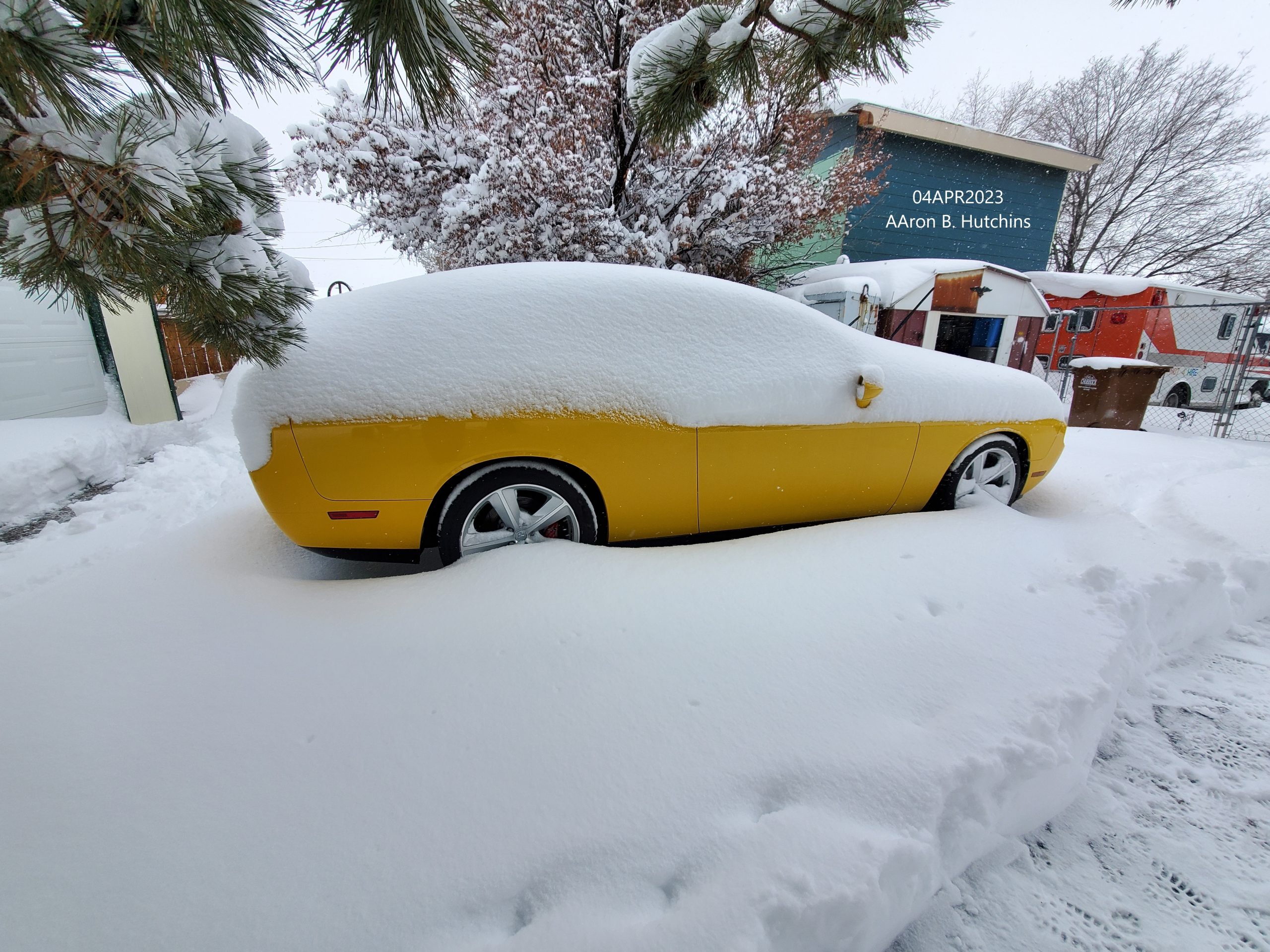
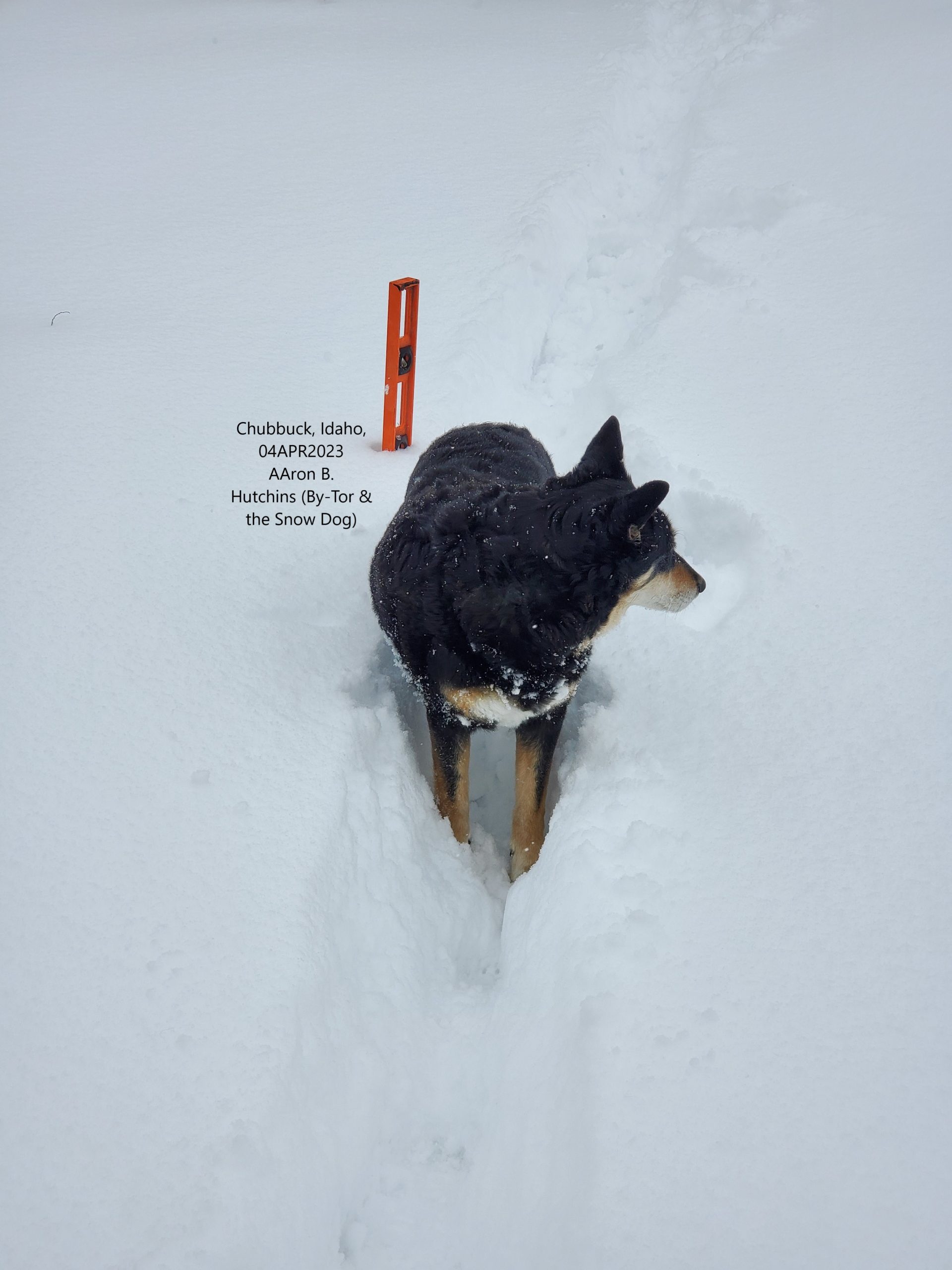
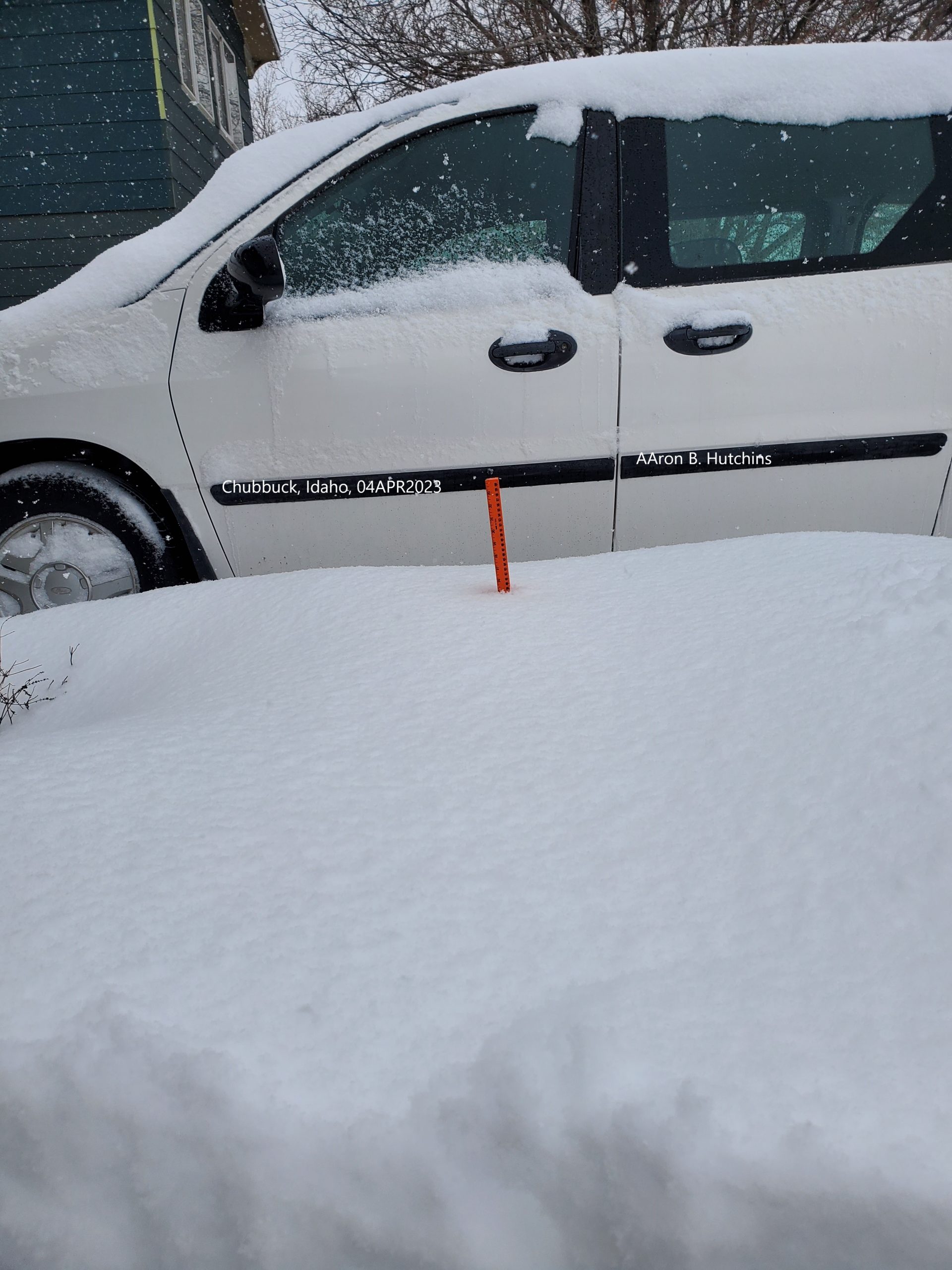
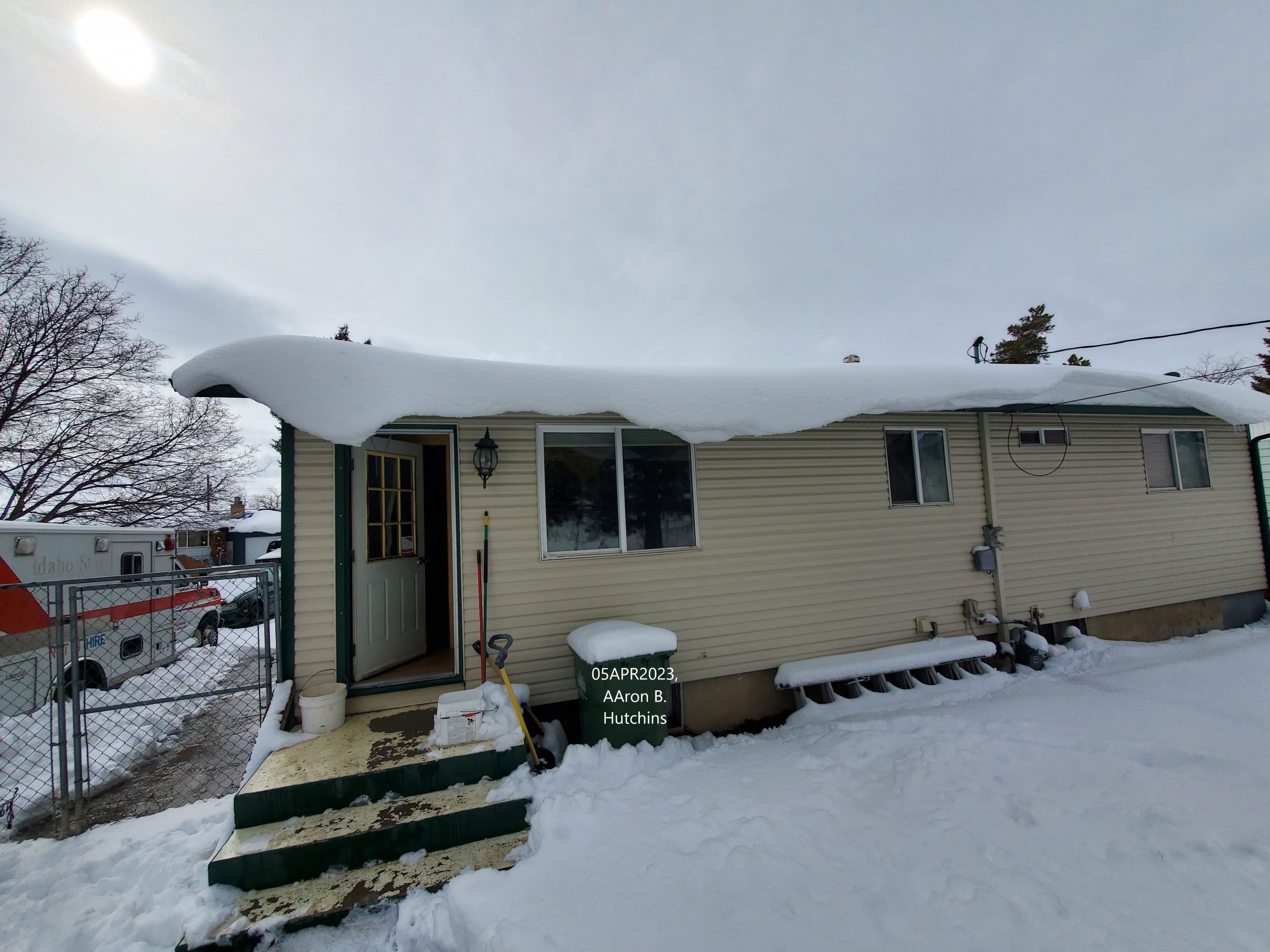
But record levels of snow also hit Bannock County, where I live. According to the National Weather Service, the cities of Chubbuck and Pocatello (both in Bannock County) got at least 19 inches of snow. Since 01APR2023, several towns and cities through out East Idaho and Southeast Idaho set new snow records.
U.S. Air Force Reserve (out of Colorado) C-130H, Pocatello Airport, 09 August 2012.
MAFFS 2 has been described as a Wyoming National Guard plane, but it belongs to the 302nd Airlift Wing, USAF Reserve Command, Peterson AFB in Colorado.
On 03 August 2012, the U.S. Forest Service requested more MAFFS equipped C-130s to be based out of Boise, Idaho.
California National Guard MAFFS 6, C-130J, Pocatello Airport, 09 August 2012.
California National Guard has two MAFFS C-130Js operating out of Boise. The latest request by the Forest Service brought in at least two MAFFS C-130s from Colorado.
MAFFS units are operated by the California, Wyoming & North Carolina National Guards, as well as the 302nd USAF Reserve out of Colorado.
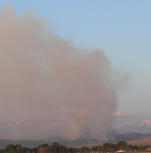
08 August 2012, sometime around 16:00 hours a fire started due west of Interstate 15’s Exit 47, near McCammon.
Click pics to see more.
Marsh Creek Fire, west side of I-15 exit 47, 08 August 2012.
Helicopter like this Bell Jet Ranger, at the Pocatello Airport, was seen attacking the Marsh Creek Fire.
‘Nother view of Marsh Creek Fire from I-15.
Helicopters and what looked like farm equipment (cutting fire break?) were fighting the wildfire along with local fire departments. It’s now contained and burned 101 acres (40.8 hectares).
Another fire is still burning to the northeast of the Marsh Creek Fire. It’s called the South Toponce Fire. It’s not contained and has burned at least 60 acres (24 hectares).
29 July 2012, fires that started on 27 July, east of Blackfoot, Idaho, continue to burn.
Wildfire east of Blackfoot, Idaho, 28 July 2012.
Stevens Peak is 90% contained, and burned 850 acres (343.9 hectares).
The East Fire and the Ridge Top fires joined forces and have burned 12,000 acres (4,856.2 hectares) so far. The fires are now referred to as Ridge Top, and is only 30% contained.
28 July 2012, fire fighters are still busy fighting numerous wild fires throughout eastern & southeastern Idaho. July is the official start to the wildfire season in Idaho, but so far 58 fires have raged since the beginning of the year!
27July 2012, new fire Fort Hall Reservation (east of Blackfoot), as seen from tens of miles to the southwest, looking northeast from the Simplot Don Plant.
According to the Eastern Idaho Interagency Fire Center (EIIFC) more acres have burned this year than in 2011, 2010 & 2009 combined! And the official fire season is just starting!
On 27 July 2012, new fires popped up in the Fort Hall reservation northeast of Pocatello (east of Blackfoot). They’re called the Ridge Top, Stevens Peak, East Fire and Gibson Creek fires. Together they’ve burned 8,000 acres (3,237.4 hectares) in less than one day.
Fire officials blame the ongoing, 10+ years drought in Idaho, something the mainstream media seems to ignore when it comes to reporting drought conditions in the United States.
Local fire officials are concerned because most of the fires have yet to hit the tinder dry forests: “Our lower elevations right now are fairly critical. Our upper elevations in the timber, our large fuel, and the trees are drier than normal…”-Lynn Ballard, U.S. Forest Service eastern Idaho
Some people might think local officials are being a little too cautious with their control over who has access to the Charlotte Fire burn area, at the south end of Pocatello. But, it really is so dry out their that I wouldn’t be surprised if the cause of the fire was spontaneous combustion of tinder dry field grasses (I’ve seen it happen in hay stacks).
I recently got my city of Chubbuck, Idaho, water bill for 08 May 2012 to 05 June 2012. It shows you what you used the previous year. For the same time in 2011 I used 4,000 gallons (15,141.6 liters). Yet, for 2012 I used 13,000 gallons (49,210.35 liters), a 9,000 gallon increase! And I was really trying to conserve, but I have a large yard with a victory garden and the amount of water I used in May was just barely enough to keep most plants from dying.
I have a pear tree and several plum trees, and for the first time in more than a decade they have no fruit! My Golden Delicious apple tree has not even half the amount of fruit it normally does.
Two of my three grape vines returned to dormancy two months ago, and have only now started to come back, after tons of water was flooded onto them. One of my two blackberry vines died. My normally over productive raspberry vines are now struggling, with only two raspberries visible.
My huge decades old pine tree stopped dropping pine cones a month ago. This is normal when you get into dry summer months, but since my pine tree is located in the middle of my back lawn it usually drops cones throughout summer because it gets enough water when I water the lawn. This year I’ve been flooding sections of the lawn, including around the pine tree, due to how dry the grass is getting, and yet no pine cones.
By the way, lawn grass is the most inefficient plant on the planet, and yet our incompetent municipality leaders create laws forcing us to maintain a grass lawn, for the sake of property values! And then they jack up our water/sewer/trash rates!!!
For example: In 1998 I swear I was paying a basic water/sewer/trash rate of $38.00 USD per month (not counting the per thousand gallon water charge). In 2010 it was more than $77.00. Now, in 2012 the basic water/sewer/trash rate is more than $92.00!!!
Between 1998 and 2002 water conservation actually helped keep my water bill down, but at this point none of my water saving efforts are paying off, because the city has jacked up the basic services rate so high! And you can’t conserve too much because then the city hits you with violation of beautification codes!
The city of Chubbuck actually has employees driving around neighborhoods in “code enforcement” vehicles, giving out warnings. If warnings are not heeded the city brings in landscapers and sends you the bill.
Another sign of how hot and dry it is: Laundry. I hang my laundry to dry outside in summer, it so hot/dry that a full load is dry within 20 minutes or less. That’s much less time than if I used the dryer in the house.
How about southeast Idaho reservoir levels?
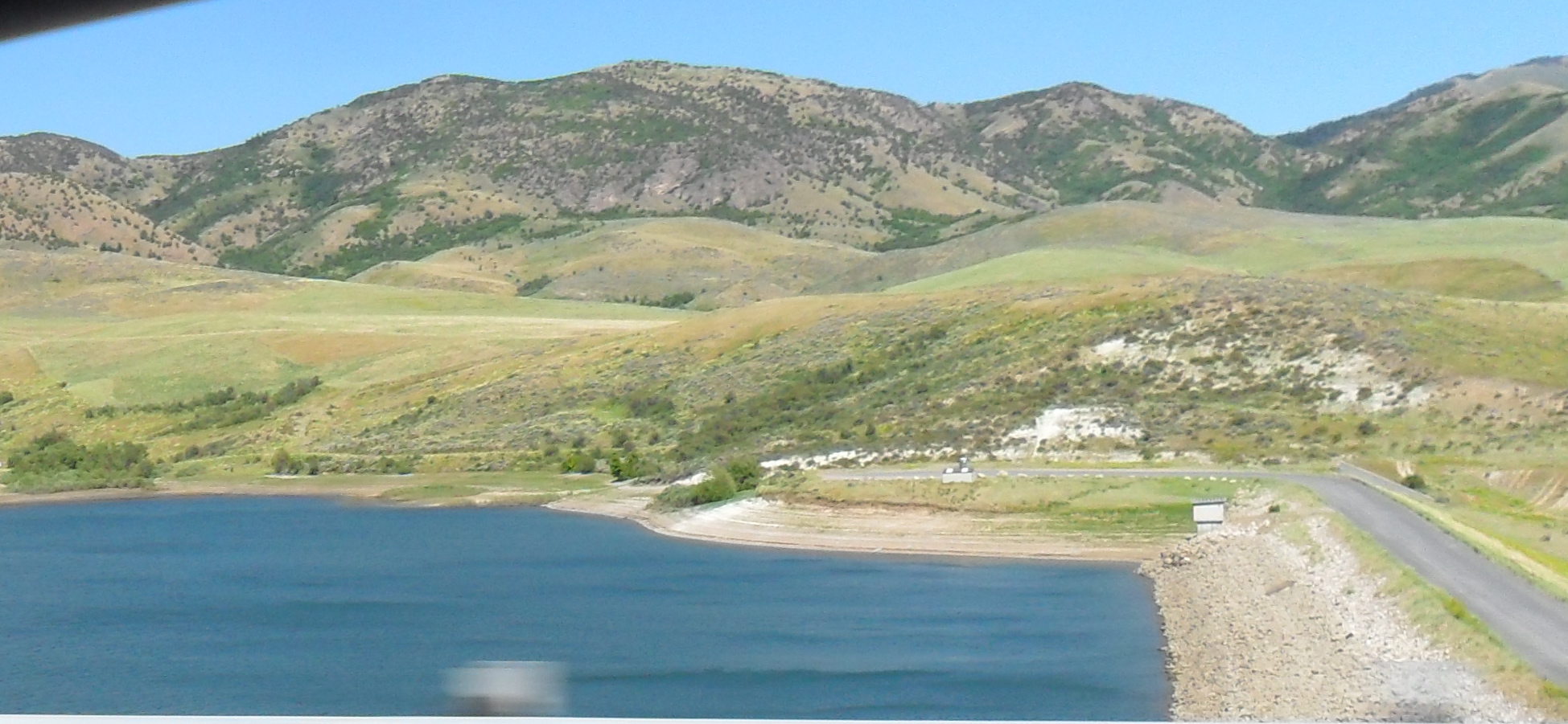
Devil Creek reservoir, north of Malad City, Idaho, off Interstate Highway 15, 29 June 2012. Two months ago it was full.
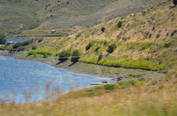
Deep Creek reservoir, east of Malad City, on Idaho State Highway 36, 29 June 2012. Two months ago it was full.
“Consumers are going to pay more because we’re going to have less beef. Fewer cows, calves, less beef production and increasing [demand for] exports.”-David Anderson, Texas AgriLife Extension Service
Texas is officially suffering its worst drought ever! The decline in cows just more proof.
Texas is now seeing the biggest drop in cattle since the U.S. Great Depression in 1930s. This year they lost more than 600,000 cattle. Not all to death directly caused by drought, or early slaughter, some were moved out of state to, literally, greener pastures.
It’s not just Texas, but Oklahoma, New Mexico, Louisiana and Arkansas also saw an increase in loss of cattle due to drought.
This past year beef prices for U.S. consumers went up 9%. The USDA predicts another 5.5% increase for 2012.
The city of Pocatello is back to the drawing board after voting against buying $6.2 million worth of water rights. The deal would have been made with Portneuf Marsh Valley Canal Company. City officials backed out after credible threats of lawsuits from water users “downstream”.
Water is a big issue for Pocatello. Its main source of water is the Lower Portnuef Valley Aquifer, and it’s running dry. The Portneuf River flows through Pocatello, but it does not recharge the aquifer, and the city does not take any water from it.
To add to the problem, the city of Pocatello is not the only one using the Aquifer, the city of Chubbuck also gets its water from the same source.
For a long time it was thought that surface water runoff made its way to the ground water (Aquifer), but now its known that most surface water runoff just ends up in rivers heading out to the oceans (although some recharging comes from Mink Creek, and snow).
Geoscientists believe the Lower Portnuef Valley Aquifer was created 17,000 years ago when a natural dam broke, releasing a huge sea into the area (Bonneville Flood). Part of that sea was trapped in what is now known as Lower Portnuef Valley Aquifer.
Another issue is that while many aquifers are held in small rock formations, even pebbles and sand, the Lower Portnuef Valley Aquifer is trapped by huge boulders, which were part of the natural dam holding back the ancient sea. You can see huge boulders around the area now. Every time a housing development goes in they end up spending a lot of time digging out the boulders in order to put in basements. It has also resulted in lucrative local rock mining businesses.
The water in the Aquifer is almost finite, it does not easily recharge as was once thought.
However, while most rain ends up in rivers, any water from slow melting snow, or used on farms or residential properties can get into the Aquifer. The problem is that large boulders do not filter the incoming surface water, like sand or pebble aquifers. This means the Lower Portnuef Valley Aquifer is very vulnerable to contamination.
To add to that, the soil is only about 2 to 8 feet thick, before you hit rock. I can attest to that since I’ve done a lot of landscaping here, and I grow vegetables and fruits. I can dig the depth of a shovel blade and hit rocks 4 inches in diameter or bigger. The thin soil means if you dump used motor oil on the ground, or use chemicals on your garden, it’s almost instantly heading for the Aquifer.
There is a three part (boring, basically a college lecture from 2010) video explanation of the Lower Portnuef Valley Aquifer issue, presented by Glenn Thackray of Idaho State University:
Thackray explains that the cities, residents, farmers and businesses take out more water from the Lower Portnuef Valley Aquifer, per year, than what flows into the Aquifer. This has been going on for a long time, and is why we’re running out of water. Add to that the fact that we’ve had some very dry winters, with less than normal snowfall (a big source of recharge, because it melts into the ground, unlike rain that runs off). The water level has been dropping since the 1990s.
Pocatello city officials say they are taking this issue seriously, and are being proactive about finding a solution.
In Central China the drought has become so bad that people are being told not to expect any water for another year. It has drastically cut rice production. The area is normally flooded at this time of year: “Usually it’s the season to fight floods, local villagers would ride on these boats to reinforce dams along the way. However, the drought has reduced water levels significantly, and as you can see, all the boats are stranded.”-local farmer
At the other end of the extreme, in Anhui, Henan and Shandong provinces, wheat farmers think they will have their best harvest for the first time in five years. If they do, China hopes it will reduce their need for foreign wheat: “This year is supposed to be a bumper year for wheat harvest. That is of great importance to the whole macroeconomic situation, and stabilization of the price level for commodity prices. It could also enhance China’s capability to minimize the impact of wheat price fluctuations brought by international grain prices.”-Li Guoxiang, Chinese Academy of Social Sciences